In short
- Early morning and late afternoon offer the best shadows on the Brain Rock.
- The remote location provides a Bortle 1 night sky for astrophotography.
- Spring and fall provide the best weather and accessible roads.
In this article
White Pocket offers 100 acres of cracked and twisted Navajo sandstone. Timing your shoot correctly helps you avoid flat midday light and harsh summer heat. This guide covers the best seasons and times of day to capture the landscape.
What is the best time of year to visit White Pocket?
Spring (April to May) and fall (September to October) are the best times to go. These seasons offer mild temperatures and avoid impassable muddy or snowy roads.
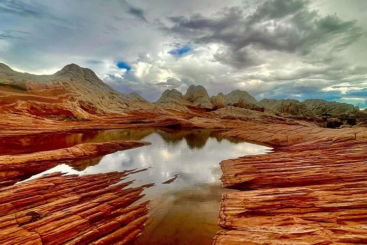
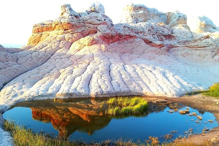
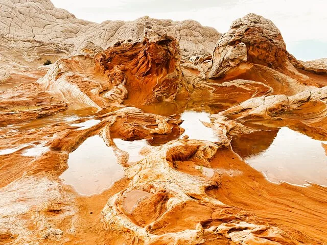
Summer heat is extreme, and winter brings snow and mud that make the rugged dirt roads dangerous. The high desert receives just 4.7 inches of rain annually. After a rare storm, check The Water Pockets. These natural depressions hold water and create perfect reflection shots of the surrounding formations.
When is the best time to photograph White Pocket?
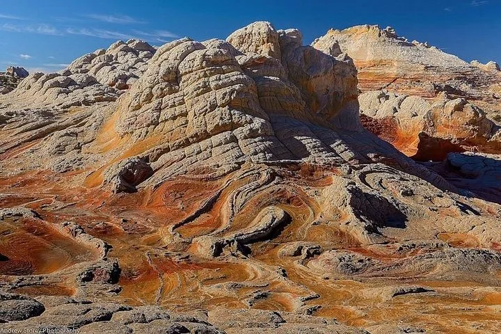
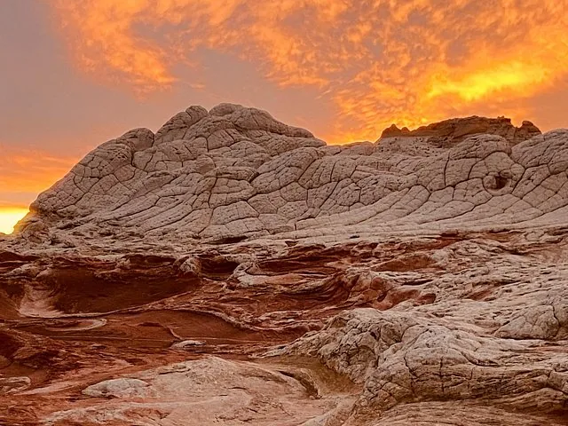
Early morning and late afternoon provide the best lighting. The low sun angle creates deep shadows across the textured rocks.
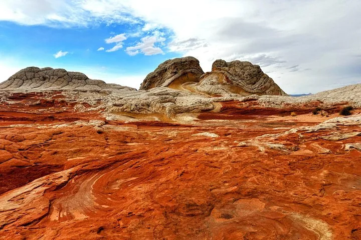
The Brain Rock features polygonal cracking that looks flat under midday sun. Arrive near sunrise or sunset to capture the contrast between the white and red sandstone. If you stay late, remember temperatures drop drastically at night at the 5,700-foot elevation.
Is White Pocket good for astrophotography?
Yes, it is one of the darkest places available for night photography. The area boasts a Bortle 1 night sky.
Since the location is 40 miles from major towns like Kanab or Page, light pollution is practically zero. Bring a wide-angle lens and a tripod to capture the Milky Way over the white domes. You can safely explore the 1.5 to 3 miles of slickrock at night if you bring proper lighting.
What are the best spots to photograph at White Pocket?
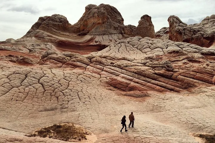
Focus on The Brain Rock, The Swirl, and The Citrus Layers. Each formation requires a different composition.
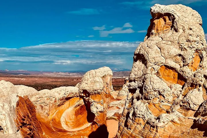
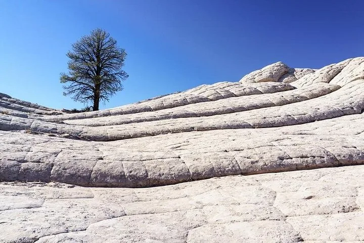
Shoot The Swirl from a low angle to frame the twisted red and white rock against the sky. For wider landscape shots, use the White Pocket Monolith as a backdrop. The Lone Tree also serves as a strong foreground subject.
What camera gear do I need for White Pocket?
You need a camera, a wide-angle lens, and a tripod for night shots. An offline GPS map is also required.
There is no cell phone service at the site. Carry an offline GPS device like a Garmin InReach. Pack a wide-brimmed hat, sunscreen, and at least 1 gallon of water per person per day. Sturdy hiking boots with grippy soles are necessary for walking on the slickrock.
How do you reach White Pocket for sunrise or sunset?
You must drive a high-clearance 4WD vehicle through 15 miles of deep sand. A guided tour is the safest option if you lack off-road experience.
Getting stuck in the sand can cost over $1,000 for a tow. If you drive yourself, you must bring a shovel, an air compressor, and lower your tire pressure. Alternatively, book a local guide who handles the driving so you can focus on your camera gear.
Questions travellers ask
Do you need a permit for White Pocket?
No permit or entrance fee is required to visit White Pocket. The area is managed by the BLM and is completely free to enter.
How long does it take to hike White Pocket?
Most visitors spend 2 to 4 hours exploring the formations. The main photographic area covers about 100 acres, requiring 1.5 to 3 miles of walking.
What are the GPS coordinates for White Pocket?
White Pocket is located at latitude 36.955 and longitude -111.893 in the Vermilion Cliffs National Monument.